Panoramas and photo spheres have became a key feature to any smartphone app. The problem consists with stitching a cluster of images together into a single continuous image.
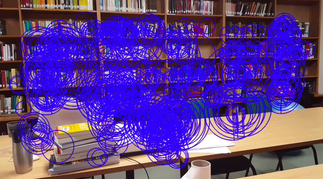
In a fourth year assignment, I was tasked with creating such a system in the using OpenCV. Using various image processing techniques, feature detection and matching algorithms I was able to form a robust system able to perform in real time environments.
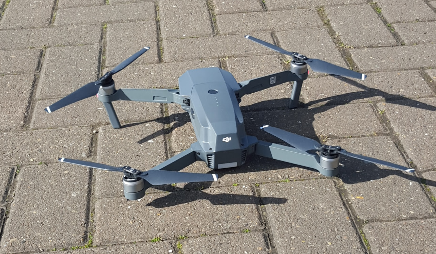
In order to test the solution, I borrowed a friends drone to apply the image stitching problem to some more interesting aerial data.
Below is a photosphere problem performed in the beautiful setting of Durham:
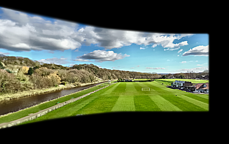
Below is a mapping problem performed in the beautiful setting of Durham river: